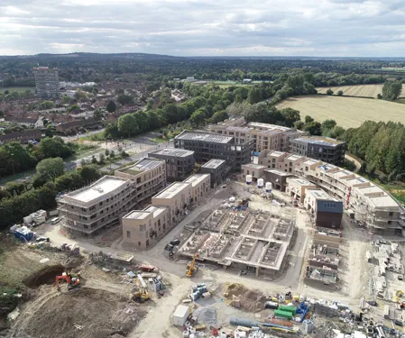
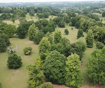
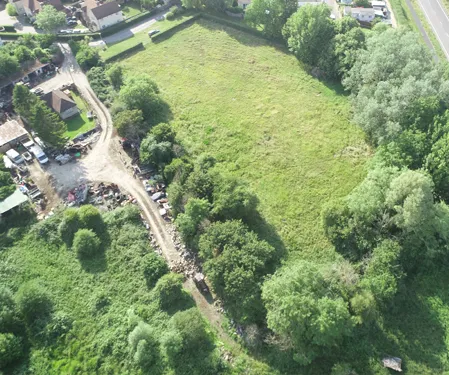
Drone technology is revolutionising the way we work and provides new opportunities that might previously have been in the world of science fiction. The most obvious application for drone technology is on development sites, but as the landowners are increasingly being encouraged to enhance their environmental assets, they need quick and cost effective way of determining where those opportunities lie.


Detailed Aerial Surveys